Current Members
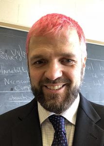 Chris Fowler
Co-Director of The Peter R. Gould Center for Geography Education and Outreach, Associate Professor, Department of Geography
Contact Information: csfowler@psu.edu, 814-863-1782
At its core my research examines the way our choices about geographic boundaries shape the outcomes we are able to observe. I examine neighborhoods, school catchment areas, electoral districts, metropolitan areas, and labor markets with a focus on how these units of observation reflect the distribution of populations in space. My work focuses in particular on patterns of clustering and dispersal by race and income as these two characteristics can tell us a lot about inequality in economic, education, health, and political outcomes.
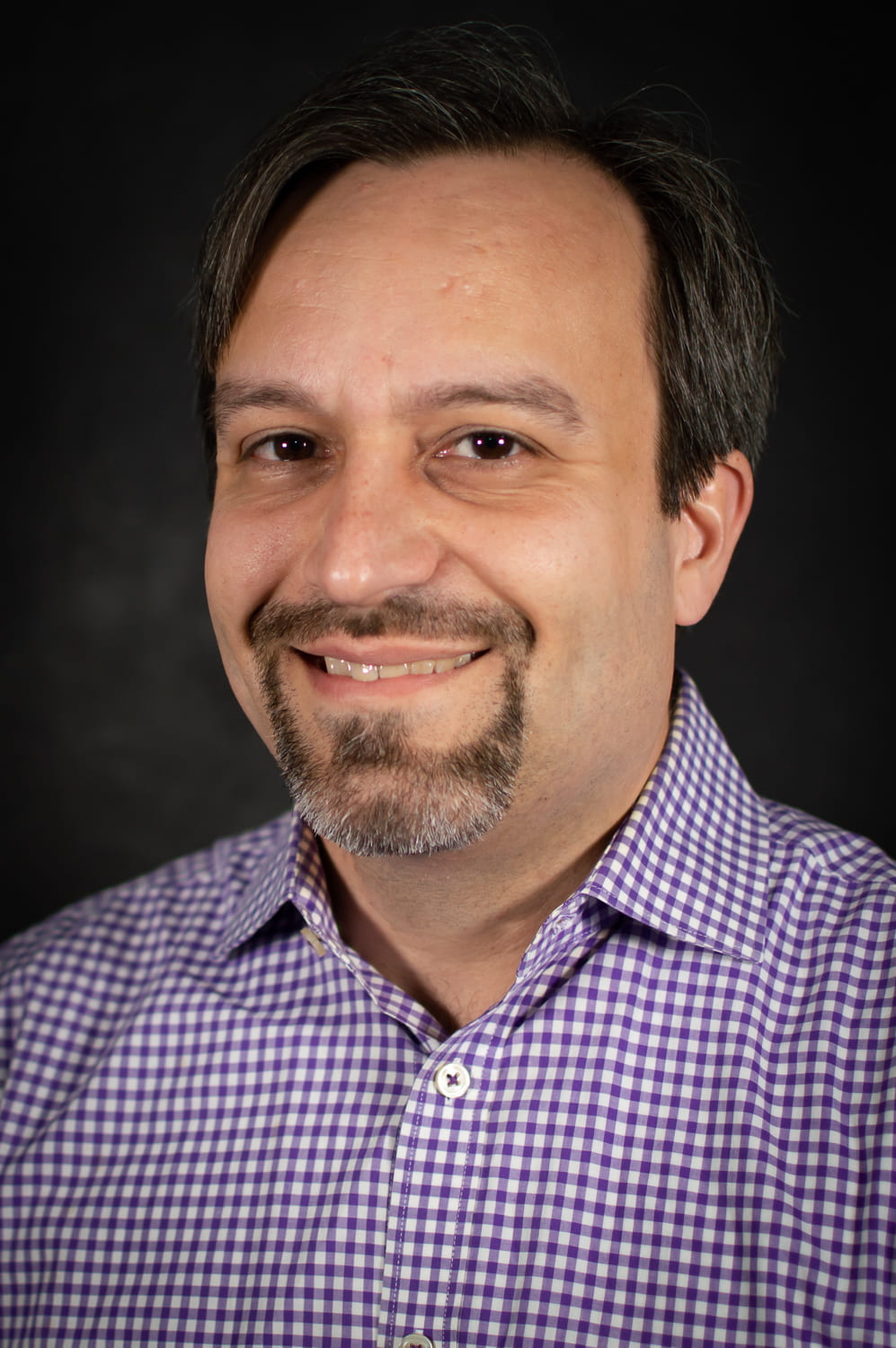 Anthony Robinson
Co-Director of The Peter R. Gould Center for Geography Education and Outreach, Associate Professor, Department of Geography
Contact Information: acr181@psu.edu
My research focuses broadly on designing and evaluating geovisualization tools to improve geographic information utility and usability. I’ve done work in epidemiology, crisis management, higher education, and ecology domains. In recent work I have explored the geographic dimensions of learner engagement to identify leverage points for spatial analysis and representation in learner analytics, designed methods for representing the presence of absence in big spatial data, and analyzed the design of viral maps in social media. For the Department of Geography, I serve as the Director of Online Geospatial Education Programs. In service to the discipline I am a board member of the Cartography and Geographic Information Science Socieity (CaGIS), I’ve been a past-President of the North American Cartographic Information Society (NACIS), and I co-Chair of the International Cartographic Association (ICA) Commission on Visual Analytics.
 Harrison Cole
Postdoctoral Scholar, Department of Geography
Contact Information: hxc412@psu.edu
I am a cartographer whose research has focused primarily on accessibility and user experience. These topics were investigated in my dissertation research where I designed and evaluated tactile maps for the purposes of natural hazard mitigation planning for blind and low vision users. I have a diverse range of interests, including augmented and virtual reality, movement ecology and biogeography, and logistics. My cartographic portfolio includes work done for peer-reviewed articles as well as other juried publications and academic monographs.
 Ruth Buck
MS + PhD Student, Department of Geography
Contact Information: rkb5550@psu.edu
My research interests concern how the redistricting of political and administrative boundaries shapes outcomes for marginalized groups. Past work modeled how different electoral systems, such as ranked choice voting, influence opportunities for minority representation in local government. My current work examines the spatial properties of student assignment policies with respect to sorting in both schools and neighborhoods. I’m passionate about GIS and open spatial data, and have worked on several projects to make administrative boundary data freely and easily available.
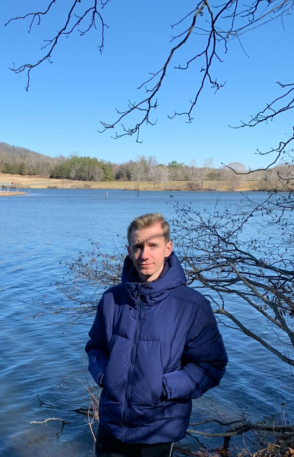 Billy Southern
PhD Student, Department of Geography
Contact Information: bms6724@psu.edu
Billy is currently a Ph.D. Candidate in the Geography program where his work explores themes around social inequalities and uneven structures of space. As an urban geographer, his research is interested in how spatial characteristics influence the social conditions of the wider area to examine how and why specific places are subject to change. More recently, Billy’s work has focused on the suburban environment to think about the social processes across this landscape. Prior to life at Penn State, Billy earned his Master’s Degree in Town and Regional Planning at the University of Liverpool, UK.
Past Members
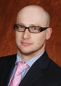 James D. Gaboardi
Associate R&D Scientist, Oak Ridge National Laboratory
Contact Information: gaboardijd@ornl.gov
My passion, and the basis of my research, lies at the intersection of GIS, spatial data science, and operations research, with strong foci in network-constrained optimal facility location modeling and the modeling consequences of aggregating population data. The validation of primary and secondary analyses with secure, restricted Census microdata is a core component of the work I have been involved with recently. I am also a core member of the PySAL team and the lead dev for the spaghetti Python package.